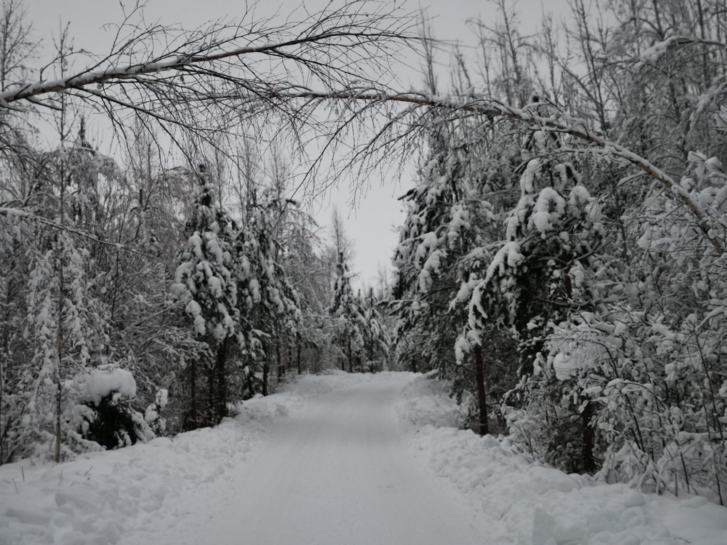
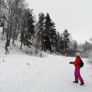
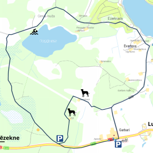
The route leads through the Garbari Forest along Lake Paugulu. During World War II, inhabitants of Ludza and its surroundings were shot in the Garbari forest. The route passes by a monument erected in memory of these people.
Starting point (GPS) – 56.535375, 27.666413
Length – 6.9 km
Marking – No
Type – Circular
Degree of difficulty (trail surface, obstacles) – Gravel and forest roads, rural gravel road, 900 m along the A12 highway.
Facilities
Resting place
Environmental object
Waste bins
Swimming place
Sightseeing:
Garden of Light (GPS: 56.534204, 27.694695);
Café “Mājas virtuve” (GPS: 56.536081, 27.697771);
Big tree “Beggar’s pine” (GPS: 56.556364, 27.662972);
Holiday house “Zilgme” (GPS: 56.552048, 27.645892);
Recreation place by the water “Ūdens pasaka” (GPS: 56.577186, 27.612078)


