
The route leads you through the oldest street of the Kārsava city to the Rogu hillfort which is the first inhabited place in the area. Along the way, you can see the chimney of the ancient brick kiln. Further, the route will lead you to the first railway in the Baltic states in Bozova village. There are still a few wooden houses from the time when the railway station was built and the village grew. The last part of the route crosses the Rītupe river, which is the greatest river in the area and leads you back to Kārsava city with its magnificent churches along the way. Part of the route is near the state border, which is why you need to have an identification document and special border zone permission.
Starting point (GPS)- 56.783204, 27.681521
Length – 17 km
Marking – No
Type – Circular
Degree of difficulty (trail surface, obstacles) – gravel roads and forest roads with a little percentage of asphalt roads.
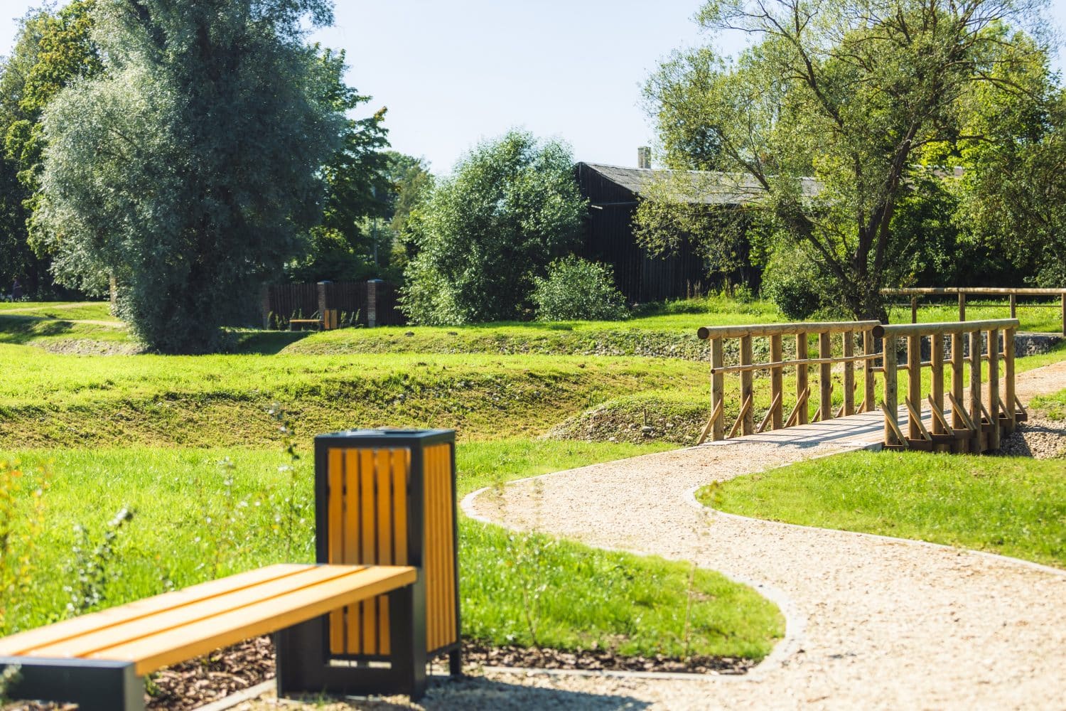
Facilities
Information stand
Resting place
Environmental object
Waste bins
Fire place
Sightseeing place
Sightseeing:
Malnava manor and park (GPS: 56.776423, 27.719798),
Home restaurant “Dzīles” (GPS: 56.773149, 27.722089),
Moonshine factory “Latgolys šmakovkys” (GPS: 56.778190, 27.717664),
Cultur and history center “Līču mājas” (GPS: 56.783288, 27.681478),
Kārsava lutheran church (GPS: 56.782322, 27.684434)
